




Kokopelli Inn Sedona

Sedona Trail Difficulty Explained: Which Hikes Fit Your Fitness Level

Every “best hikes in Sedona” list uses the same three words (easy, moderate, strenuous) and then applies them inconsistently. A trail one site calls moderate is the same trail another calls strenuous, and neither tells you what that actually means for your knees, your lungs, or your two hours of daylight. This guide sorts nine of Sedona’s most-searched trails by what the difficulty rating actually requires of you, using official Forest Service data, not a marketing description.

Couple hiking hand in hand toward Bell Rock on a Sedona trail

How Sedona Actually Rates Trail Difficulty

Coconino National Forest, which manages most of Sedona’s trail system, rates trails on distance, elevation gain, and surface. Here’s the plain-language version:

  • Easy: Flat to gently rolling, well-maintained surface, minimal elevation gain (under 250 feet). You could do it in sneakers.
  • Moderate: Real elevation gain (250–700 feet), uneven or rocky footing, sustained climbing. Trail runners or light hikers, not flip-flops.
  • Strenuous: Steep, exposed, often involves scrambling over slickrock with your hands as well as your feet. Hiking boots, and know your comfort with heights before you commit.

The gap between moderate and strenuous is where most people get in over their heads in Sedona, because the strenuous trails here, Cathedral Rock especially, don’t look like mountain climbs from the parking lot. They look like short walks that turn into rock scrambles a third of the way up.

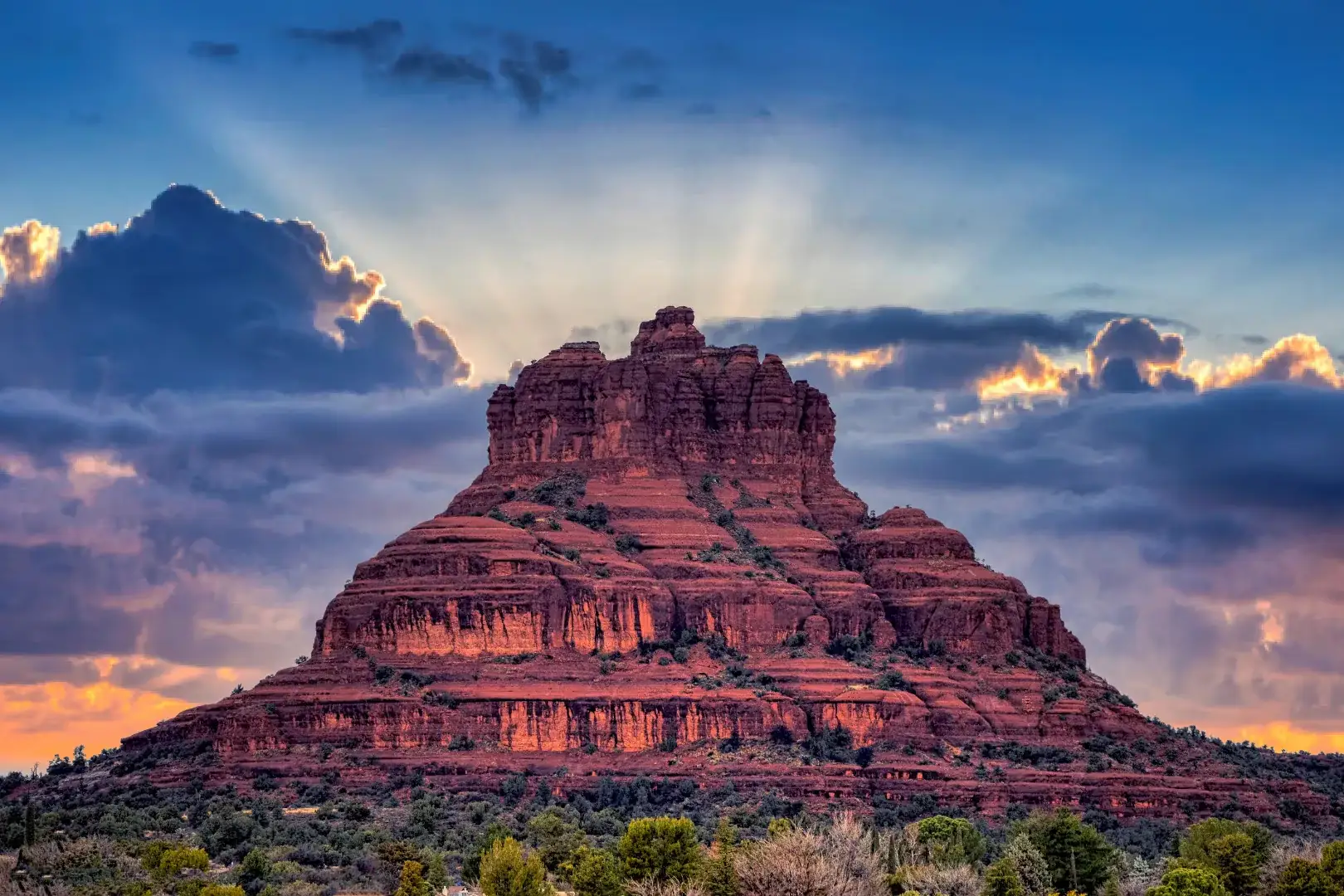
Easy: Bell Rock Pathway

3.5 miles one-way (round trip options at multiple points), 185 feet of elevation gain, wide hard-packed surface. Coconino National Forest rates this an “easy, family-friendly trail,” and it’s the one to pick if you want the red-rock scenery without technical difficulty. Three separate trailhead parking areas (Northern, Midway, Southern) sit along Highway 179, so you can start wherever traffic allows and turn around anytime. You don’t have to commit to the whole 3.5 miles. Restrooms are at the north and south lots.

Easy: West Fork Trail (First 3 Miles)

The maintained section of West Fork gains just 221 feet over 3 miles, genuinely easy, and shaded by canyon walls, which matters in September when afternoon sun is still strong. Past mile 3 the trail turns into unmaintained wilderness route-finding across creek crossings; that’s a different, much harder trip, and most visitors should treat the 3-mile maintained section as the destination, not the start of something longer.

Hikers with backpacks descending a shaded Sedona canyon trail

Moderate: Devil’s Bridge

1.6 miles round trip, 371 feet of elevation gain, Coconino National Forest rates it moderate, and that’s accurate for the trail itself. What the rating doesn’t cover is the approach: getting to the main Dry Creek Road trailhead means about 1.3 miles of unpaved forest road that the Forest Service specifically does not recommend in wet weather, and it’s rough enough that low-clearance sedans struggle. If you’re not driving something with real clearance, park at Dry Creek Vista or the Mescal Trailhead instead and add 2 to 4 miles round trip via the Chuckwagon or Mescal connector trails. Either way, budget extra time: this is the most photographed spot in Sedona and the bridge itself gets a line for photos.

Moderate: Soldier Pass

4 miles round trip, 641 feet of elevation gain. The trail itself is a solid moderate climb past Devil’s Kitchen sinkhole and the Seven Sacred Pools. The complication is parking: the trailhead has only 14 spaces, no restrooms, and fills fast. The free Sedona Shuttle runs to this trailhead Thursday through Sunday and is genuinely the easier option most of the week. Driving here expecting a spot on a Saturday morning is a real gamble.

Moderate: Doe Mountain

Short (0.7 miles to the top, 1.3 miles if you walk the rim), but 542 feet of elevation gain packed into that short distance via switchbacks, which is why the Forest Service calls it moderately challenging rather than easy. About 90 minutes round trip if you walk the full rim, less if you just go up and back. The payoff is a flat mesa top with panoramic views and none of the exposed scrambling that Cathedral Rock or Devil’s Bridge require, which makes it a good “I want the view without the risk” pick.

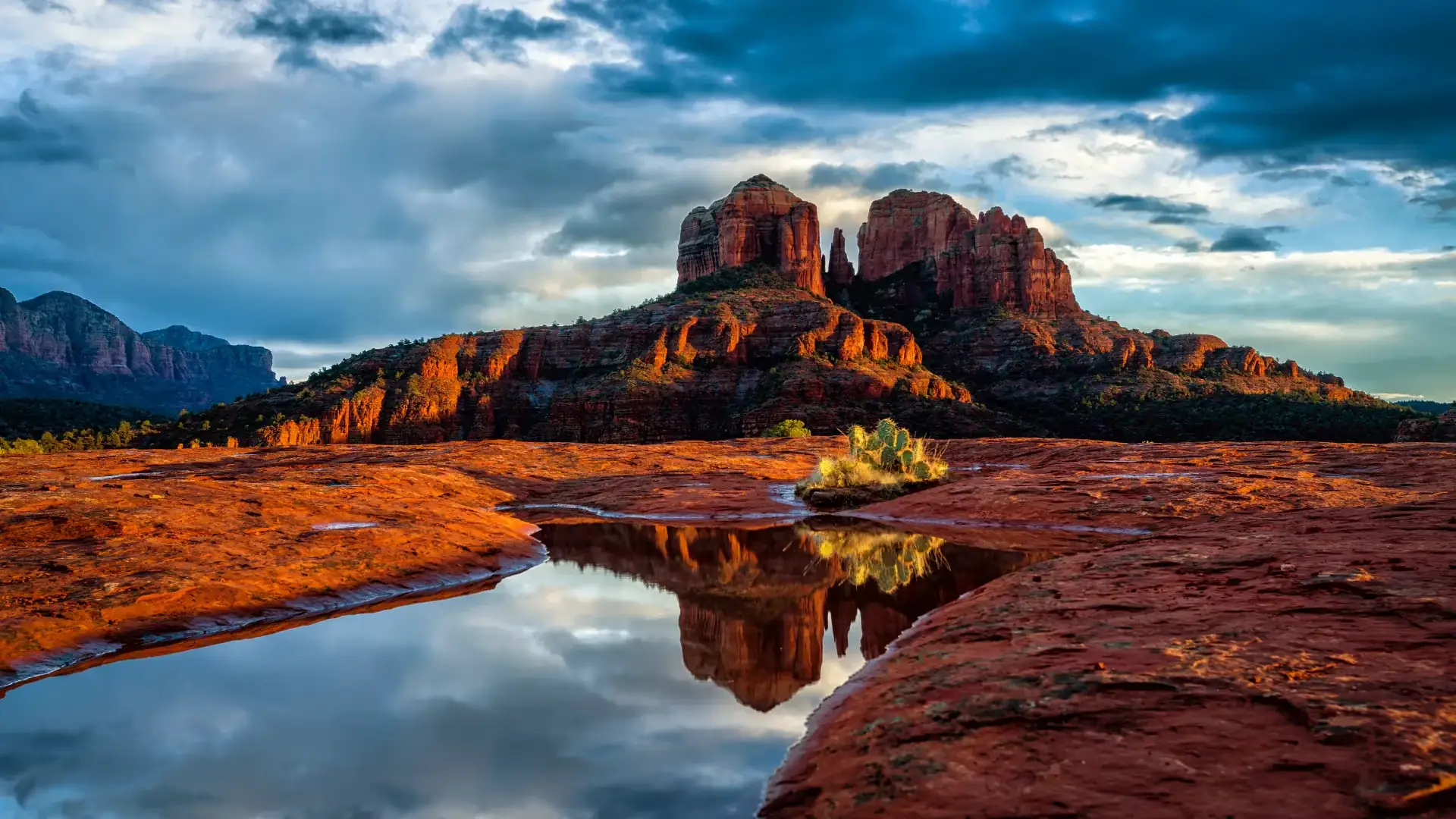
Strenuous: Cathedral Rock

This is the one that catches people off guard. Only 1.1 miles round trip (short enough to look easy on paper), but it gains 669 feet in that short distance, and a meaningful stretch of it is hand-over-hand scrambling up exposed slickrock, not walking. The Forest Service’s own description calls it “more of a rock climb than a hike.” If you’re not comfortable on steep, exposed rock, or you’re hiking with young kids who can’t scramble safely, this is the trail to skip or turn around early on rather than push through. There’s no shame in stopping at a lower viewpoint and letting the summit go.

Matching a Trail to Your Actual Fitness Level

If You Want… Pick Distance Gain Rating
A flat walk with a payoff view Bell Rock Pathway Up to 3.5 mi 185 ft Easy
Shade and easy footing West Fork (first 3 mi) 3 mi 221 ft Easy
A real climb, manageable time Doe Mountain 1.3 mi 542 ft Moderate
The iconic photo, willing to plan around parking Devil’s Bridge 1.6–5.8 mi 371 ft Moderate
A longer moderate hike, less crowded Soldier Pass 4 mi 641 ft Moderate
A short but genuine physical challenge Cathedral Rock 1.1 mi 669 ft Strenuous

What Actually Changes Hikes in September and October

Afternoon monsoon storms are still a possibility into mid-September, start early if the forecast shows any storm chance, since several of these trails cross exposed slickrock that gets slick and dangerous in rain, and Cathedral Rock in particular is not a place to be during lightning. By October, that risk drops off and daytime temperatures ease into the 70s, which is when Sedona’s trail traffic (and trailhead competition for parking) climbs steadily toward its winter peak. If you’re planning an October trip, that’s worth building into your schedule now: the busiest trailheads fill earlier in the day as the season goes on.

Getting It Right the First Time

Bring more water than you think you need: the dry air pulls moisture out of you faster than it feels like it should, even on an easy trail. Trekking poles help more on the moderate and strenuous trails here than most places, because footing is uneven rock rather than packed dirt. And if a trail’s actual difficulty doesn’t match what you came prepared for, turning around costs you nothing but a little pride. Cathedral Rock, especially, is not a trail to push through on stubbornness.

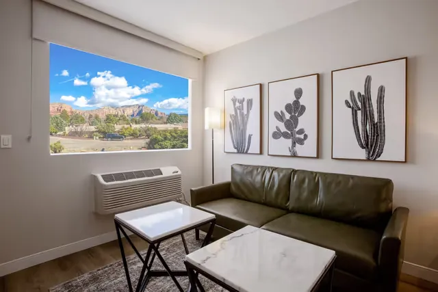
Staying at Kokopelli Inn puts you in the Village of Oak Creek, a few minutes from Bell Rock and the Highway 179 trailhead corridor, meaning you can check a trail’s parking situation, decide it’s too full, and be at a backup trailhead in under fifteen minutes instead of losing half your morning. Rooms range from a King Bed Mountain View to a Double Queen or King Mini Suite, with mobility-accessible rooms available, and parking here is straightforward with no downtown gridlock to fight before you’ve even started hiking.

Leave a Reply

Your email address will not be published. Required fields are marked *

Book a Stay